Europe's oldest map, a stone slab, unearthed in France
A 4,000-year-old stone slab, first discovered over a century ago in France, may be the oldest known map in Europe, according to a new study. The Saint-Bélec Slab dates back to the early Bronze Age (2150-1600 B.C.) and was first discovered in 1900 in a prehistoric burial ground in Finistère, Brittany. It made up one of the walls of a cist, a stone box that housed the bodies of the dead. The slab was likely made before it was reused in the burial towards the end of the early Bronze Age (1900-1640 B.C.), according to a statement.
At the time of the discovery, the broken slab, which is 12.7 feet (3.9 meters) long, was moved to a private museum, and France's Museum of National Antiquities acquired it in 1924. It was then stored in a French castle, where it gathered dust until it was re-discovered in the castle's cellar in 2014. But only recently are researchers beginning to understand the interesting story behind this prehistoric slab.
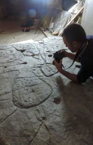
In 2017, a group of researchers in Europe started analyzing the engravings on the slab using high-resolution 3D surveys and photogrammetry, a process of analyzing an object through taking detailed photographs. They discovered that the slab had all the markings that would be expected of a map, such as motifs joined by lines. They also found that lines represented a river network, and its makers seemed to have deliberately used a 3D shape to represent a valley.
The researchers compared the engravings on the slab with elements of the French landscape and concluded that the slab represented an area of about 18.6 miles by 13 miles (30 kilometers by 21 km) along the River Odet in western France. "This is probably the oldest map of a territory that has been identified," in Europe, study author Clément Nicolas from Bournemouth University told the BBC.
https://www.livescience.com/oldest-known-map-europe-bronze-age.html

 = new reply since forum marked as read
