Welcome to DU! The truly grassroots left-of-center political community where regular people, not algorithms, drive the discussions and set the standards. Join the community: Create a free account Support DU (and get rid of ads!): Become a Star Member Latest Breaking News General Discussion The DU Lounge All Forums Issue Forums Culture Forums Alliance Forums Region Forums Support Forums Help & Search
General Discussion

Showing Original Post only (View all)

MichaelSoE

(1,576 posts)
Fri Sep 11, 2020, 06:42 AM Sep 2020

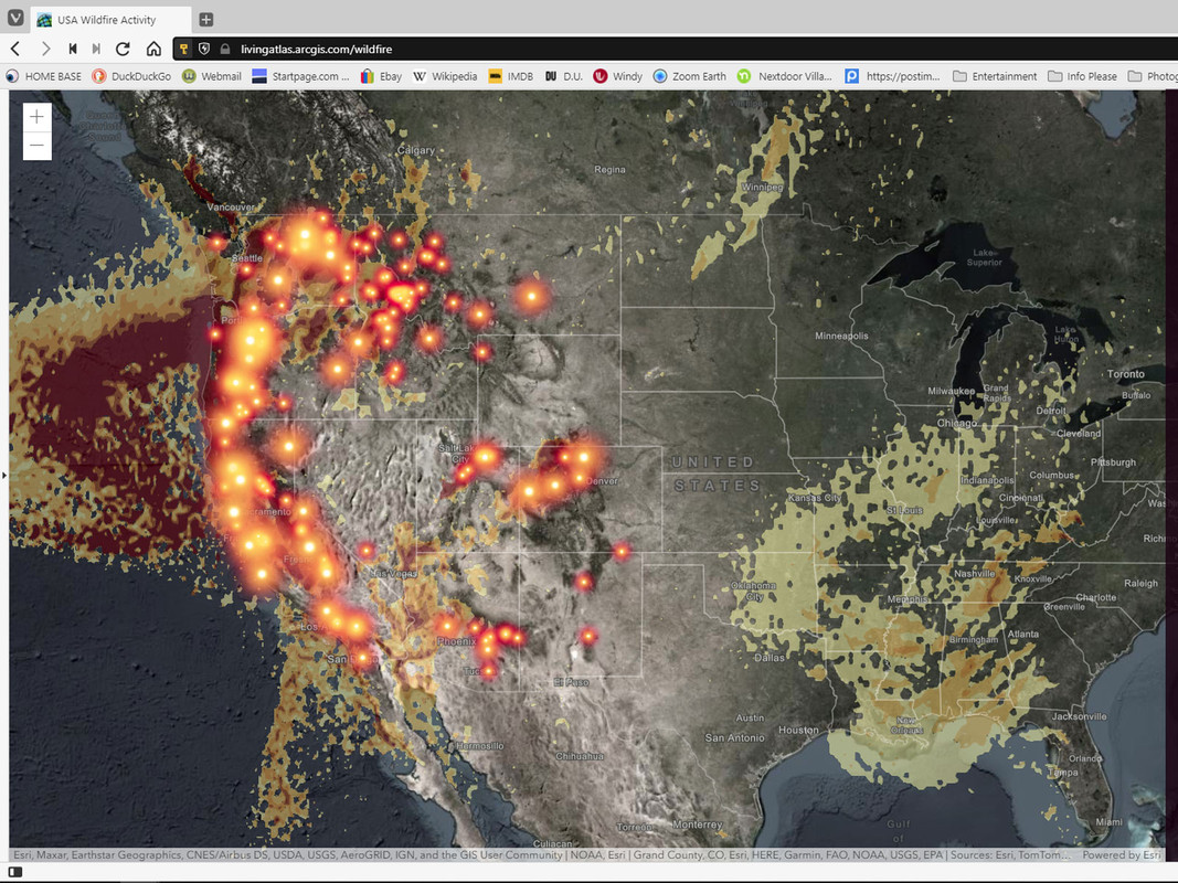
Screen cap of active fires in the US ... tossed in map of the Atlantic with hurricanes too [View all]


Here is a link to the website ... it's interactive ... I turned the smoke layer for the screen cap

https://livingatlas.arcgis.com/wildfire/#@=-105.715,39.921,5


From the web site Windy ... also totally interactive

https://www.windy.com

So much to do. So little time.

But get rid of ALL the deniers first


3 replies = new reply since forum marked as read
Highlight: NoneDon't highlight anything 5 newestHighlight 5 most recent replies
Latest Discussions»General Discussion»Screen cap of active fire...