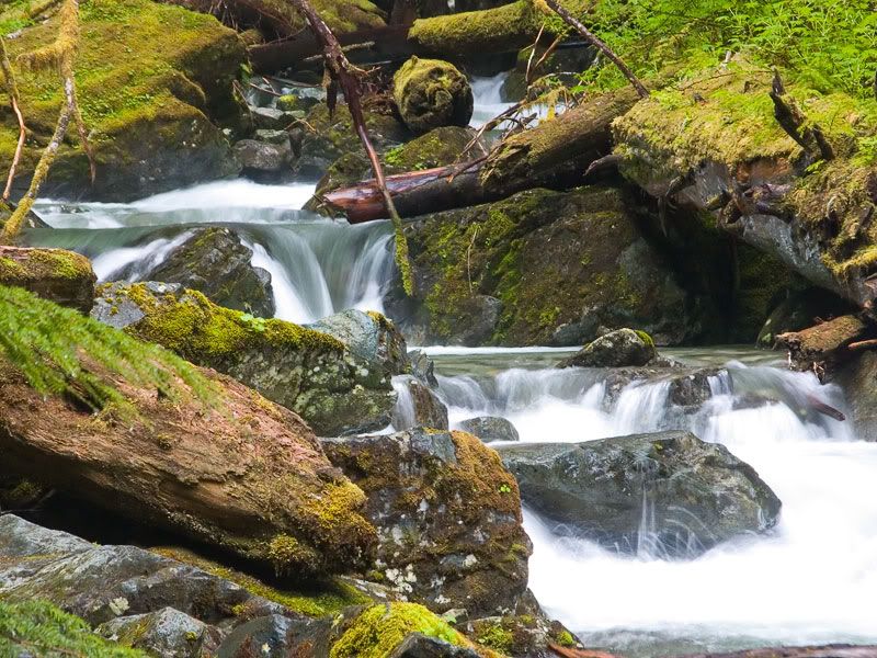
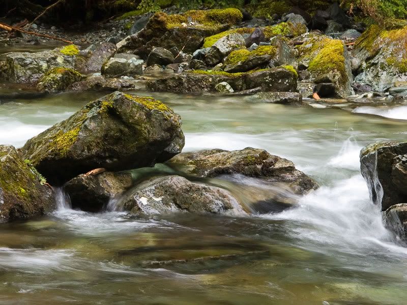
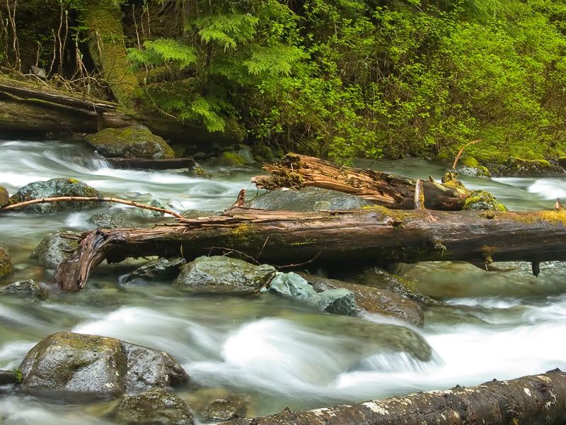
Earlier this year, I posted a series of "Water Falling Over Things 2006" threads. Among them were images from Ipsut Falls...
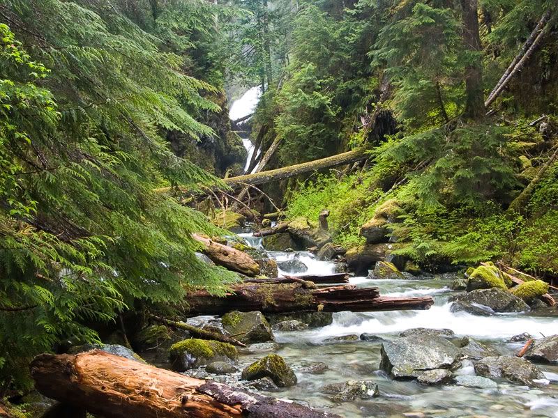
...and Ranger Falls...

...both found off the dirt road leading to Ipsut campground on the north face of Rainier.
This past month, record-setting rains caused unprecedented flooding throughout the Cascades. For only the third time in its history, Mount Rainier National Park has been completely shut down, and most of it may remain closed until spring or later.
The road to Ipsut was especially hard-hit. According to an outdoor writer for the Post-Intelligencer:
From the entrance, the first mile or so of road is in good shape, as if nothing had happened. The silence was thick and almost oppressive. When we passed a lone hiker, he seemed surprised to see us, as if we'd wakened him from a dream. We began to entertain hopes that maybe conditions weren't as bad as we had heard.
Wrong.
There it was. Or wasn't. The road, that is. It's simply gone, taken over by a channel of the river. A cairn marks the beginning of the washout, but experienced hikers can carry on. Rangers have flagged a route through the mess of toppled trees, piles of gravel and sand, which are interspersed with surviving road -- some good stretches, others undercut and eroded.
Everything was soaking wet and the humidity so high it was like hiking through a jungle. Despite the devastation, the place felt alive, like The Mountain was breathing and we were hiking through its lungs. We literally could not tell where the road had been -- it looked like the forest had been bombed.More
here.
There is now talk that the road and campground may never be rebuilt, making the hikes to Ipsut and Ranger much longer and more intense than when I went there last spring. It is possible that, in years to come, only the most dedicated mountain enthusiasts will see these falls.
Although I posted these photos before, I think it's appropriate to provide one final look at what may well become sights few will experience in the future.