Finally...according to the local forest service's web site, sometime between 7/11 and 7/17, the last snow-berm melted on Denny Creek Road near Snoqualmie Pass, allowing me to access the three main waterfalls reachable by that road. I had already shot two of those falls in
September 2005, but that was when they were at "low flow," as opposed to this year, where the late snow-melt has guaranteed high water levels for practically all northwest waterfalls.
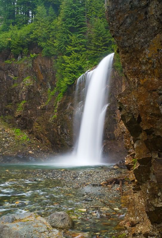
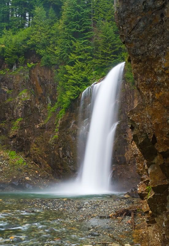
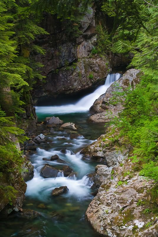
Last time around, I mislabeled the first of these falls as "Upper Franklin Falls" (Upper Franklin Falls turns out to be a very seasonal cascade located on a completely different watershed dozens of miles to the southwest). Actually, this is
Fall-Into-The-Wall Falls (so named because, if you were to go over them, you'd immediately run into a cliff wall facing them, as the South Fork Snoqualmie River makes an abrupt left turn through a couple of s-curves in a mini-canyon before resuming its course downhill). If you compare this to my earlier photo, you can see just how drastic a difference there is between low- and high-water here -- the eariler picture had two smaller falls on the sides of a rock ridge that's almost completely underwater here.
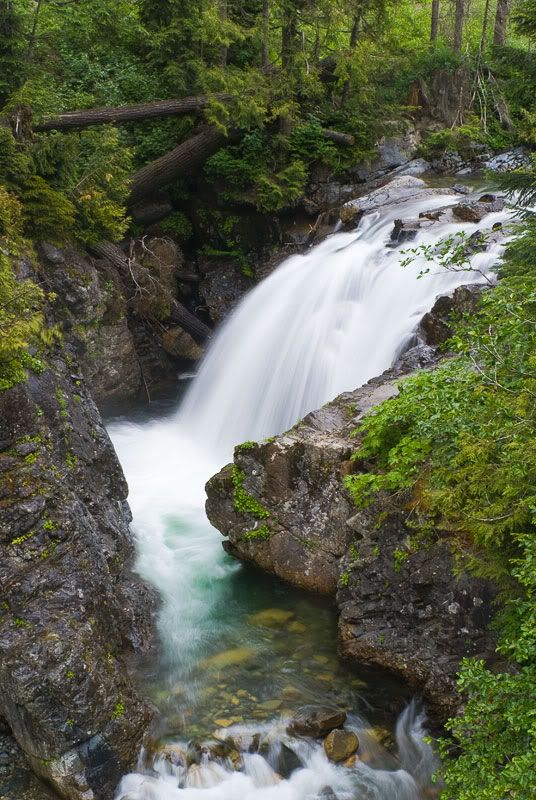
The second fall is
Denny Camp Falls, viewed from above along the Denny Creek Trail ,
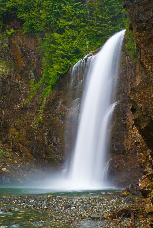
Finally,
Franklin Falls. If you compare this to my earlier shot, you'll see that the latter features a large gravel "beach" surrounding the fall's plunge-pool. This time around, there was no beach at all, just a path leading down into a swollen South Fork Snoqualmie. (These photos were
real fun to take, as the only spot where I could manage to set up a tripod was on a narrow, rock-strewn stretch of the trail with a cliff-face to my right and a sheer twenty-foot drop into the river to my left. Let's just say that any momentary loss of balance would have been quite hazardous to either my health or that of my equipment...but the results were worth it.)