General Discussion
Related: Editorials & Other Articles, Issue Forums, Alliance Forums, Region ForumsWanna see a tiny bit of the (already existing) border wall?
Here's a google map of the Anzalduas bridge crossing near Mission, Texas.
https://goo.gl/maps/FTbDuZSAq8z
A few noteworthy things:
There is no street level view of the area anywhere near the wall.
There is a miles long fenced-in elevated bridge that takes you across from the river crossing to the US Customs port of entry.
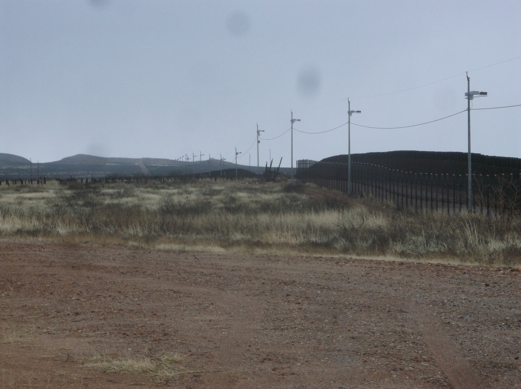
Near the port of entry there's a barren no-mans land with nothing but grass and ending at a wall.
The river meanders back-and-forth and you can see places where the river used to be but has now changed course.
Any kind of border wall is necessarily far away from where the river flows to account for the natural shift in the river.
There's arable land between the river and the border wall. So there's US land outside the wall.
The point is that even this small piece of border wall is an expensive monstrosity that only marginally serves it's purpose.
 = new reply since forum marked as read
Highlight:
NoneDon't highlight anything
5 newestHighlight 5 most recent replies
= new reply since forum marked as read
Highlight:
NoneDon't highlight anything
5 newestHighlight 5 most recent replies

Kali
(55,008 posts)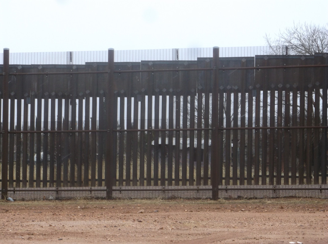
somewhere I have some images of it along I-8 and at Tecate

NutmegYankee
(16,199 posts)
Xipe Totec
(43,890 posts)But it is high. I'd say, judging by the border patrol vehicles I see there from time to time, that the wall is easily 25' high.