Welcome to DU!
The truly grassroots left-of-center political community where regular people, not algorithms, drive the discussions and set the standards.
Join the community:
Create a free account
Support DU (and get rid of ads!):
Become a Star Member
Latest Breaking News
Editorials & Other Articles
General Discussion
The DU Lounge
All Forums
Issue Forums
Culture Forums
Alliance Forums
Region Forums
Support Forums
Help & Search
General Discussion
Related: Editorials & Other Articles, Issue Forums, Alliance Forums, Region ForumsNASA Earth Observatory ESA satellite view of Los Angeles County fire
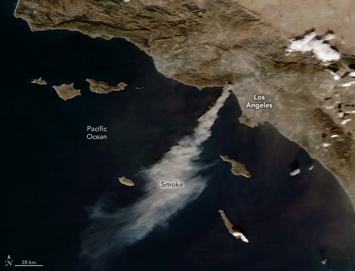
Multiple destructive fires broke out in the hills of Los Angeles County in early January 2025. As of January 8, several major wildland fires burned, fueled by a dry landscape and winds that gusted up to 100 miles per hour. The blazes have destroyed thousands of structures and prompted officials to issue evacuation orders in several parts of the county...
Powerful Santa Ana winds and a lack of rain created “critical” fire weather conditions in Southern California, according to the National Weather Service. Santa Ana winds typically occur between October and January when a pressure gradient builds up between the Great Basin to the east and the cool Pacific Ocean to the west. The weather pattern sends gusty, dry winds streaming down the side of inland mountain ranges, through narrow mountain canyons, and toward the coast.
Although windy conditions are typical this time of year, a lack of rain contributed to the dangerous fire weather. Since October, Southern California has received negligible rain, and according to climate scientist Daniel Swain, the region has experienced the driest start to the winter on record. The Los Angeles airport, for example, recorded 0.03 inches (0.08 centimeters) of rain since October 1—the start of the water year in the state—making it the area’s driest start to the water year on a record maintained by the National Weather Service dating back to 1944...
https://earthobservatory.nasa.gov/images/153793/fires-tear-through-los-angeles
Weather researcher Bob Henson has a good explanation of the weather issues behind these firestorms. His article is from several days ago so the specifics of the fires have changed dramatically: The underlying causes have not.

...The preconditions for a January fire in Southern California couldn’t be much worse. After two years of generous moisture (especially in 2022-23), the state’s 2024-25 wet season has gotten off to an intensely bifurcated start: unusually wet in NoCal and near-record dry in SoCal. We’re now in weak to marginal La Niña conditions, and La Niña is typically wetter to the north and drier to the south along the U.S. West Coast, but the stark contrast this winter is especially striking...
On top of the unusually dry conditions for early January, we’re now in the heart of the Santa Ana wind season. These notorious and dangerous downslope winds, which occur when higher-level winds are forced over the coastal mountains and toward the coast, typically plague coastal Southern California a few times each year. This week’s peak winds may arrive more from the north versus the northeast, compared to a classic Santa Ana event, and the associated wind-bearing mountain waves (which are shaped by the vertical temperature profile at mountaintop level) could punch further toward the coast than usual...
There’s no research indicating that downslope winds like this are becoming more intense or frequent with human-caused climate change, or that we should expect them to. But it’s abundantly clear that fire season is lengthening in Southern California, as documented in this 2021 study by California weather expert and climate researcher Daniel Swain, and it’s likely to continue stretching out (see this 2022 study). These shifts will open the door for summer-dried vegetation to stay parched and highly flammable until the winter rains arrive (even if that’s after New Year’s Day)...
https://yaleclimateconnections.org/2025/01/this-weeks-unholy-mix-of-drought-wind-and-fire-in-southern-california/